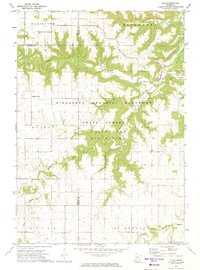
1972 Map of Elba
USGS Topo · Published 1975About this map
Whitewater State Park and the expansive Minnesota Memorial Hardwood State Forest dominate this river-cut landscape in the early 1970s. The topography is defined by the branching forks of the Whitewater River, including the North Fork and South Fork, which carve through deep valleys surrounding the community of Elba. Small rural settlements like Fairwater and Kingsley Corner are interspersed with several gravel operations, indicating the local extraction industry of the era.
Find a feature on this map
27 named features on this map. Tap any name to fly to it.
Don’t see what you’re looking for? This feature index may not catch every label — zoom into the map to look around manually.
Map Details
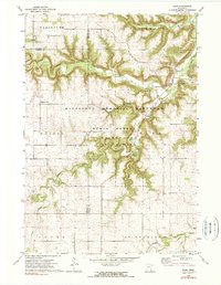
Editions of this 1972 Elba Map
2 editions found
Other maps of this area

1932 · Cochrane
USGS Topo · 1:62,500

1934 · Plainview
USGS Topo · 1:62,500

1934 · Cochrane
USGS Topo · 1:62,500

1937 · Cochrane
USGS Topo · 1:62,500

1938 · Plainview
USGS Topo · 1:62,500

1953 · Saint Paul
USGS Topo · 1:250,000

1953 · Eau Claire
USGS Topo · 1:250,000

1954 · Chatfield
USGS Topo · 1:62,500

1954 · Lewiston
USGS Topo · 1:62,500

1954 · Mason City
USGS Topo · 1:250,000