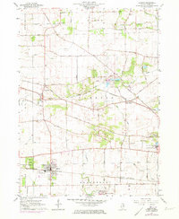
1964 Map of Elburn
USGS Topo · Published 1973About this map
The Chicago and North Western railroad forms the spine of development across this Kane County landscape, linking the growing hubs of Elburn and La Fox. The area is characterized by a transition from traditional agricultural land toward institutional and residential use, evidenced by the presence of Broadview Academy and the State Training Sch for Boys near the eastern edge. Natural drainage is defined by the winding paths of Blackberry Creek, Ferson Creek, and Mill Creek, which cut through the morainal topography of the Campton Hills. Local history is preserved in several family and pioneer burial grounds, including Whitney Cem, Baker Cem, and the New Hampshire Cem. A series of gravel pits and sandpits scattered near Wasco and Lily Lake highlight the area's geological resources, which were actively being extracted as the surrounding communities expanded during the mid-20th century.
Find a feature on this map
57 named features on this map. Tap any name to fly to it.
Don’t see what you’re looking for? This feature index may not catch every label — zoom into the map to look around manually.
Map Details
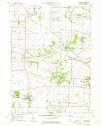
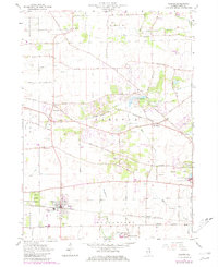
Editions of this 1964 Elburn Map
3 editions found
Other maps of this area

1925 · Elgin
USGS Topo · 1:62,500

1932 · Geneva
USGS Topo · 1:62,500

1937 · Sycamore
USGS Topo · 1:62,500

1938 · Genoa
USGS Topo · 1:62,500

1940 · Elgin
USGS Topo · 1:62,500

1948 · Geneva
USGS Topo · 1:62,500

1949 · Geneva
USGS Topo · 1:24,000

1950 · Aurora North
USGS Topo · 1:24,000

1954 · Rockford
USGS Topo · 1:250,000

1955 · Rockford
USGS Topo · 1:250,000