
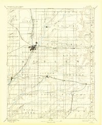
1888 Map of Eldorado
USGS Topo · Published 1888About this map
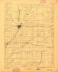
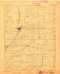
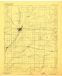
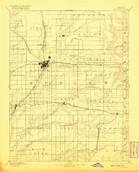
The railroad hub at El Dorado serves as the focal point for this late nineteenth-century survey of Butler County. A dense network of competing rail lines defines the local economy and settlement pattern, with the Atchison Topeka and Santa Fe Railroad and the St Louis Ft Scott and Wichita Railroad intersecting at the county seat. Smaller frontier stops like Schonholm and Pontiac appear along these transit corridors, while the established town of Augusta sits at the junction of Little Walnut Creek and the southern rail spurs. The landscape is organized into distinct townships such as Lincoln, Sycamore, and Glencoe, reflecting the systematic transition from open prairie to an agricultural and industrial landscape tied to the Missouri and Kansas markets via the St Louis and San Francisco Railroad.
Find a feature on this map
60 named features on this map. Tap any name to fly to it.
Don’t see what you’re looking for? This feature index may not catch every label — zoom into the map to look around manually.
Map Details
Editions of this 1888 Eldorado Map
6 editions found
Other maps of this area

1885 · Eureka
USGS Topo · 1:125,000

1885 · Sedan
USGS Topo · 1:125,000

1888 · Emporia
USGS Topo · 1:125,000

1888 · Eureka
USGS Topo · 1:125,000

1889 · Newton
USGS Topo · 1:125,000

1889 · Burden
USGS Topo · 1:125,000

1889 · Sedan
USGS Topo · 1:125,000

1889 · Wichita
USGS Topo · 1:125,000

1890 · Wellington
USGS Topo · 1:125,000

1894 · Emporia
USGS Topo · 1:125,000