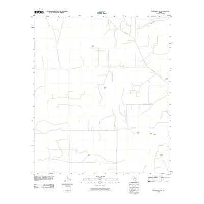
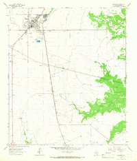
2010 Map of Eldorado NW
USGS Topo · Published 2010About this map
The Dry Devils River and its tributary drainage systems, such as Indian Draw and Whitten Draw, define the hydrology of this Edwards Plateau landscape. This 2010 survey illustrates the continued reliance on decentralized ranching operations in Schleicher County, with major landholdings like Bearce Ranch, Meador Ranch, and Whitten Ranch connected by a network of rural roads including Co Rd 408 and Co Rd 412.
Find a feature on this map
13 named features on this map. Tap any name to fly to it.
Don’t see what you’re looking for? This feature index may not catch every label — zoom into the map to look around manually.
Map Details
Editions of this 2010 Eldorado NW Map
This is the sole edition of this map. No revisions or reprints were ever made.
Other maps of this area
1895 · Sherwood
USGS Topo · 1:125,000

1954 · Sonora
USGS Topo · 1:250,000
1954 · San Angelo
USGS Topo · 1:250,000

1958 · Sonora
USGS Topo · 1:250,000
1958 · San Angelo
USGS Topo · 1:250,000
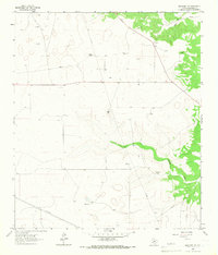
1964 · Eldorado NW
USGS Topo · 1:24,000
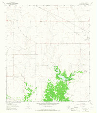
1964 · Eldorado SW
USGS Topo · 1:24,000
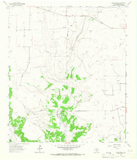
1964 · Coupe Ranch
USGS Topo · 1:24,000
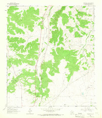
1964 · Eldorado NE
USGS Topo · 1:24,000
1964 · Eldorado
USGS Topo · 1:24,000