Loading...
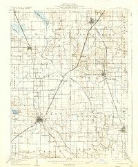
Loading map...1906 Map of Eldorado
USGS Topo · Published 1937About this map
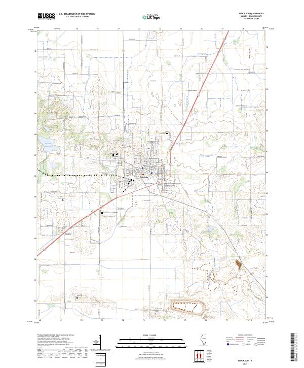
Eldorado serves as the industrial and transportation hub for this 1905 survey of Southern Illinois, where coal mining and extensive rail networks shaped the local economy. The presence of Dering Mines just west of the city center highlights the era's reliance on extraction, supported by a dense web of competing railroads including the Illinois Central RR and the Louisville and Nashville RR.
Find a feature on this map
54 named features on this map. Tap any name to fly to it.
Don’t see what you’re looking for? This feature index may not catch every label — zoom into the map to look around manually.
Map Details
Date Portrayed1906
Date Published1937
PublisherU.S. Geological Survey
Map TypeTopographic
Scale1:62,500
Physical Dimensions16.4 x 19.8 inches
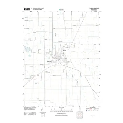
Editions of this 1906 Eldorado Map
2 editions found

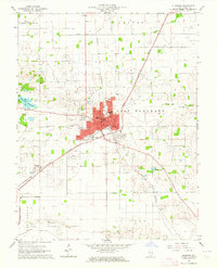
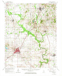
Historical Maps of Eldorado Through Time
9 maps found

Featured Locations
Source Details
SourceU.S. Geological Survey
CopyrightPublic Domain