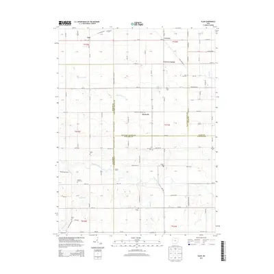
2013 Map of Elgin
USGS Topo · Published 2013About this map
Elgin and Converse anchor this rural landscape in the western reaches of Ohio, where the grid of the Public Land Survey System meets a complex series of county boundaries. The map traces the intersections of Van Wert, Allen, Auglaize, and Mercer Counties, a jurisdictional patchwork defined by small farming communities and historic burials. The southern portion of the quadrangle is shaped by the winding course of the Saint Marys River and its tributaries, including Eightmile Cr and Hussey Cr. Genealogists will find an exceptional concentration of family and community burial grounds, from the Goodwin Cem in the north to the Calvary Cem and Hankin Cem further south. Notable rural landmarks like Gallman Farms and the Seibert Farm reflect the deep agricultural roots of the region, while the small settlement of Monticello and the legacy location of Converse Station suggest the former importance of rail and road transport in these townships.
Find a feature on this map
122 named features on this map. Tap any name to fly to it.
Don’t see what you’re looking for? This feature index may not catch every label — zoom into the map to look around manually.
Map Details
Editions of this 2013 Elgin Map
This is the sole edition of this map. No revisions or reprints were ever made.
Other maps of this area

1911 · Spencerville
USGS Topo · 1:62,500

1911 · Delphos
USGS Topo · 1:62,500

1914 · Celina
USGS Topo · 1:62,500

1914 · Van Wert
USGS Topo · 1:62,500

1944 · Delphos
USGS Topo · 1:62,500

1944 · Van Wert
USGS Topo · 1:62,500

1944 · Celina
USGS Topo · 1:62,500

1944 · Spencerville
USGS Topo · 1:62,500

1953 · Muncie
USGS Topo · 1:250,000

1956 · Muncie
USGS Topo · 1:250,000