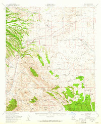
1958 Map of Elgin
USGS Topo · Published 1962About this map
Fort Buchanan and Fort Crittenden occupy critical historic footprints in this high-desert landscape of southern Arizona, marking the site of early military outposts. The map documents the mid-century cattle ranching culture through numerous family holdings like the Crown C Ranch, Hacienda Los Encinos, and Selby Ranch, which dot the valleys between the Mustang Mountains and the expansive Coronado National Forest. In the northern half, the Southern Pacific railroad corridor connects the settlements of Sonoita and Elgin, passing the Fruitland Cemetery and the County Fairgrounds.
Find a feature on this map
118 named features on this map. Tap any name to fly to it.
Don’t see what you’re looking for? This feature index may not catch every label — zoom into the map to look around manually.
Map Details
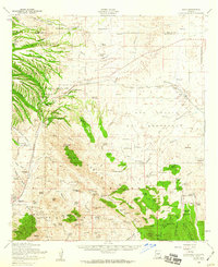
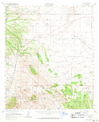
Editions of this 1958 Elgin Map
3 editions found
Other maps of this area

1904 · Patagonia
USGS Topo · 1:125,000

1905 · Patagonia
USGS Topo · 1:125,000

1905 · Nogales
USGS Topo · 1:125,000

1914 · Hereford
USGS Topo · 1:125,000

1915 · Benson
USGS Topo · 1:125,000

1922 · Agus Caliente
USGS Topo · 1:62,500

1922 · Sunnyside
USGS Topo · 1:62,500

1926 · Whetstone
USGS Topo · 1:62,500

1926 · Helvetia
USGS Topo · 1:62,500

1932 · Lochiel
USGS Topo · 1:62,500