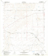
1958 Map of Elgin
USGS Topo · Published 1968About this map
Elgin serves as the central point of activity on this 1958 revision, situated where the Southern Pacific railroad and local roads converge in the high desert landscape of Santa Cruz County. The map details the ranching and rail geography of the era, marked by numerous reservoirs and water tanks vital for life in this arid region. The southern portion of the sheet is dominated by the vast San Ignacio Del Babocomari land grant, through which the Babocomari drainage and several pipelines run. Local history is anchored by the Fruitland Cemetery and another smaller Cemetery near the town site. The physical environment is defined by significant drainages like Cienega Creek and Gardner Canyon, leading toward the prominent peaks of the Mustang Mts on the eastern edge. This survey documents the intersection of legacy land grants and mid-century transportation infrastructure.
Find a feature on this map
18 named features on this map. Tap any name to fly to it.
Don’t see what you’re looking for? This feature index may not catch every label — zoom into the map to look around manually.
Map Details
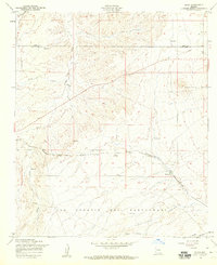
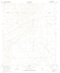
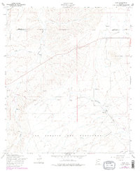
Editions of this 1958 Elgin Map
4 editions found
Other maps of this area

1904 · Patagonia
USGS Topo · 1:125,000

1905 · Patagonia
USGS Topo · 1:125,000

1915 · Benson
USGS Topo · 1:125,000

1926 · Whetstone
USGS Topo · 1:62,500

1932 · Elgin
USGS Topo · 1:62,500

1938 · Huachuca
USGS Topo · 1:62,500

1940 · Elgin
USGS Topo · 1:62,500

1943 · Benson
USGS Topo · 1:125,000

1947 · Elgin
USGS Topo · 1:62,500

1948 · Elgin
USGS Topo · 1:24,000