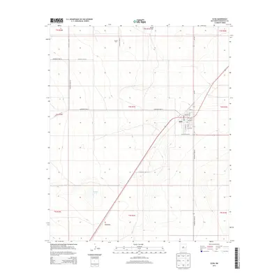
2013 Map of Elida
USGS Topo · Published 2013About this map
Elida serves as the primary hub of this eastern New Mexico landscape, situated at the junction of several regional routes in Roosevelt County. The town site is clearly defined by its street grid, including Wheeler St, Texas St, and S Ave, alongside essential local markers like the Po and the Elida Cem just to the west. The surrounding terrain is shaped by the wide path of Boone Draw in the north and the presence of Bonham Tank further south, illustrating the vital role of water management in this High Plains environment.
Find a feature on this map
31 named features on this map. Tap any name to fly to it.
Don’t see what you’re looking for? This feature index may not catch every label — zoom into the map to look around manually.
Map Details
Editions of this 2013 Elida Map
This is the sole edition of this map. No revisions or reprints were ever made.
Other maps of this area

1954 · Clovis
USGS Topo · 1:250,000

1954 · Brownfield
USGS Topo · 1:250,000

1958 · Brownfield
USGS Topo · 1:250,000

1958 · Clovis
USGS Topo · 1:250,000

1962 · Brownfield
USGS Topo · 1:250,000

1973 · Lewiston Lake
USGS Topo · 1:24,000

1973 · Gammil Well SE
USGS Topo · 1:24,000

1973 · Floyd SE
USGS Topo · 1:24,000
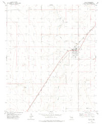
1978 · Elida
USGS Topo · 1:24,000
1979 · Badger Lake
USGS Topo · 1:24,000