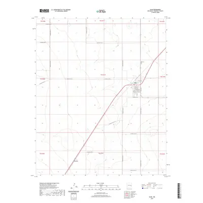
2020 Map of Elida
USGS Topo · Published 2020About this map
Elida serves as the primary hub of this High Plains landscape, where a grid of rural routes like S Roosevelt Road 18 and S Roosevelt Road 24 connects the surrounding ranchlands. The town's layout is defined by its orientation to the rail line, with streets such as Railroad Ave, Belmont St, and Texico Ave forming the village core. To the north, Elida Cem provides a focal point for genealogical interest, while the small settlement of Tornero appears to the southwest along the highway and rail corridor.
Find a feature on this map
35 named features on this map. Tap any name to fly to it.
Don’t see what you’re looking for? This feature index may not catch every label — zoom into the map to look around manually.
Map Details
Editions of this 2020 Elida Map
This is the sole edition of this map. No revisions or reprints were ever made.
Other maps of this area

1954 · Clovis
USGS Topo · 1:250,000

1954 · Brownfield
USGS Topo · 1:250,000

1958 · Brownfield
USGS Topo · 1:250,000

1958 · Clovis
USGS Topo · 1:250,000

1962 · Brownfield
USGS Topo · 1:250,000

1973 · Lewiston Lake
USGS Topo · 1:24,000

1973 · Gammil Well SE
USGS Topo · 1:24,000

1973 · Floyd SE
USGS Topo · 1:24,000
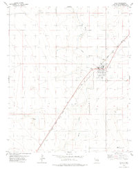
1978 · Elida
USGS Topo · 1:24,000
1979 · Badger Lake
USGS Topo · 1:24,000