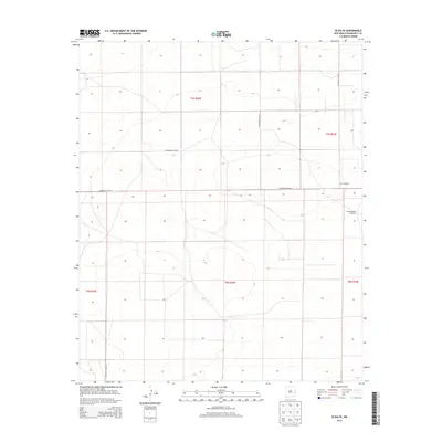
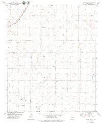
2013 Map of Elida SE
USGS Topo · Published 2013About this map
High plains grazing lands and structured rural infrastructure define this corner of Roosevelt County during the early 2010s. The landscape is characterized by a grid of well-maintained county roads including S Roosevelt Road 30 and S Roosevelt Road AC, which delineate the expansive sections of the Public Land Survey System across t5s r33e and surrounding townships. This 2013 survey provides a record of the essential water management features required for livestock in this arid environment, specifically locating the United States Windmill and the New Windmill. These landmarks serve as vital points of reference in a terrain where topography is subtle, marked only by gentle elevations and depressions typical of the Llano Estacado region. The map captures the quiet, functional nature of New Mexico's ranching country, showing how local transit and water resources dictate the movement across the territory.
Find a feature on this map
12 named features on this map. Tap any name to fly to it.
Don’t see what you’re looking for? This feature index may not catch every label — zoom into the map to look around manually.
Map Details
Editions of this 2013 Elida SE Map
This is the sole edition of this map. No revisions or reprints were ever made.
Other maps of this area

1954 · Brownfield
USGS Topo · 1:250,000

1958 · Brownfield
USGS Topo · 1:250,000

1962 · Brownfield
USGS Topo · 1:250,000

1972 · Dora NW
USGS Topo · 1:24,000

1972 · Dora SW
USGS Topo · 1:24,000
1972 · Milnesand NW
USGS Topo · 1:24,000
1978 · Elida
USGS Topo · 1:24,000

1978 · Button Mesa North
USGS Topo · 1:24,000
1979 · Badger Lake
USGS Topo · 1:24,000
1979 · Schram Lake
USGS Topo · 1:24,000