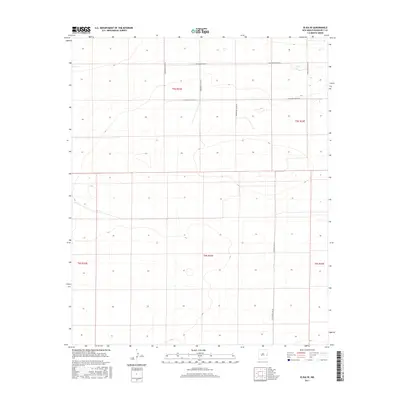
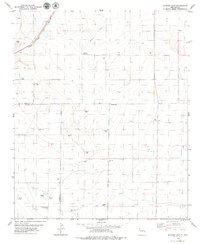
2017 Map of Elida SE
USGS Topo · Published 2017About this map
Roosevelt County's high plains are defined here by a precise grid of agricultural and transport lines, captured in this 2017 study. The landscape is organized around the Public Land Survey System, with township and range lines like t5s r32e and t6s r33e carving the terrain into regular sections. This geometric order is reflected in the local road network, where thoroughfares such as S Roosevelt Road 27 and S Roosevelt Road 28 follow section boundaries with mathematical regularity.
Find a feature on this map
12 named features on this map. Tap any name to fly to it.
Don’t see what you’re looking for? This feature index may not catch every label — zoom into the map to look around manually.
Map Details
Editions of this 2017 Elida SE Map
This is the sole edition of this map. No revisions or reprints were ever made.
Other maps of this area

1954 · Brownfield
USGS Topo · 1:250,000

1958 · Brownfield
USGS Topo · 1:250,000

1962 · Brownfield
USGS Topo · 1:250,000

1972 · Dora NW
USGS Topo · 1:24,000

1972 · Dora SW
USGS Topo · 1:24,000
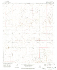
1972 · Milnesand NW
USGS Topo · 1:24,000
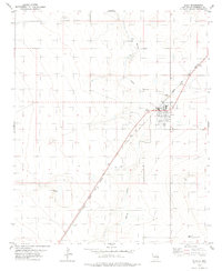
1978 · Elida
USGS Topo · 1:24,000

1978 · Button Mesa North
USGS Topo · 1:24,000
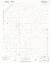
1979 · Badger Lake
USGS Topo · 1:24,000
1979 · Schram Lake
USGS Topo · 1:24,000