
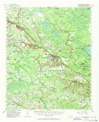
1955 Map of Elizabethtown
USGS Topo · Published 1958About this map
The Cape Fear River winds through this mid-century landscape, serving as the central axis for the town of Elizabethtown. The map illustrates a region defined by its unique "Carolina Bay" geography, with numerous elliptical depressions such as White Lake, Salters Lake, and Jones Lake appearing as distinct features in the Turnbull State Forest. This period shows the transition of the local economy from river-based transit, evidenced by a Barge Landing, to a rail-and-road network dominated by the Virginia and Carolina Southern and the Seaboard Air Line railroads.
Find a feature on this map
127 named features on this map. Tap any name to fly to it.
Don’t see what you’re looking for? This feature index may not catch every label — zoom into the map to look around manually.
Map Details
Editions of this 1955 Elizabethtown Map
2 editions found
Other maps of this area

1953 · Chadbourn
USGS Topo · 1:62,500

1953 · Florence
USGS Topo · 1:250,000

1954 · Florence
USGS Topo · 1:250,000

1954 · White Lake
USGS Topo · 1:62,500

1954 · Bolton
USGS Topo · 1:62,500

1955 · Whiteville
USGS Topo · 1:62,500

1957 · Bladenboro
USGS Topo · 1:62,500

1959 · Roseboro
USGS Topo · 1:62,500

1959 · Garland
USGS Topo · 1:62,500

1959 · Saint Pauls
USGS Topo · 1:62,500