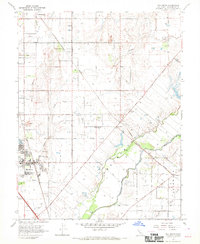
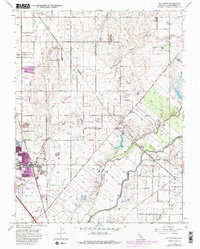
1968 Map of Elk Grove
USGS Topo · Published 1970About this map
Elk Grove serves as the focal point of this 1960s Sacramento County landscape, characterized by a transition from established residential centers to a network of agrarian homesteads and irrigation infrastructure. The town's historic footprint is marked by the Union Cem and Odd Fellows Cem, while education is anchored at Union HS. To the east, the rural settlements of Sheldon and Wilton are connected by the diagonal path of the Central California Traction railroad.
Find a feature on this map
46 named features on this map. Tap any name to fly to it.
Don’t see what you’re looking for? This feature index may not catch every label — zoom into the map to look around manually.
Map Details
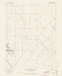
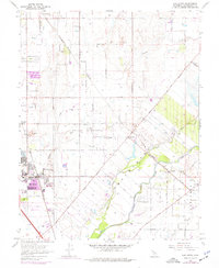
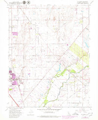
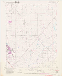
Editions of this 1968 Elk Grove Map
6 editions found
Other maps of this area

1891 · Sacramento
USGS Topo · 1:125,000

1892 · Sacramento
USGS Topo · 1:125,000

1893 · Sacramento
USGS Topo · 1:125,000

1894 · Lodi
USGS Topo · 1:125,000

1902 · Fairoaks
USGS Topo · 1:62,500

1908 · Buffalo Creek
USGS Topo · 1:31,680

1909 · Elk Grove
USGS Topo · 1:31,680

1909 · Clay
USGS Topo · 1:31,680

1909 · Cosumnes
USGS Topo · 1:31,680

1909 · Florin
USGS Topo · 1:31,680