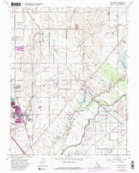
1968 Map of Elk Grove
USGS Topo · Published 1980About this map
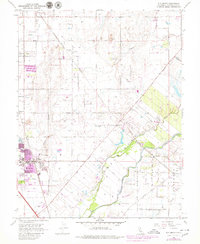
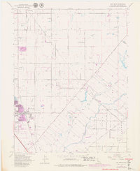
Elk Grove serves as the primary hub of this 1968 Sacramento County survey, showing the town at a moment of expansion along the Southern Pacific railroad line. The landscape is a network of agricultural lands and riparian corridors, defined by the winding course of the Cosumnes River and its many tributaries, including Laguna Creek and Deer Creek. The map provides excellent detail for local historians, documenting civic and community fixtures like Union HS, the Elk Grove County Park, and the Elk Grove Convalescent Hosp.
Find a feature on this map
41 named features on this map. Tap any name to fly to it.
Don’t see what you’re looking for? This feature index may not catch every label — zoom into the map to look around manually.
Map Details
Editions of this 1968 Elk Grove Map
6 editions found
Other maps of this area

1891 · Sacramento
USGS Topo · 1:125,000

1892 · Sacramento
USGS Topo · 1:125,000

1893 · Sacramento
USGS Topo · 1:125,000

1894 · Lodi
USGS Topo · 1:125,000

1902 · Fairoaks
USGS Topo · 1:62,500

1908 · Buffalo Creek
USGS Topo · 1:31,680

1909 · Elk Grove
USGS Topo · 1:31,680

1909 · Clay
USGS Topo · 1:31,680

1909 · Cosumnes
USGS Topo · 1:31,680

1909 · Florin
USGS Topo · 1:31,680