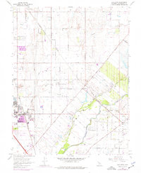
1968 Map of Elk Grove
USGS Topo · Published 1977About this map
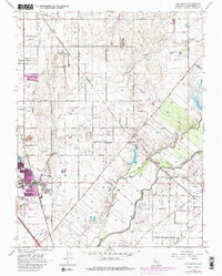
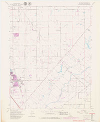
Cosumnes River and Deer Creek dominate the southeastern landscape of this Sacramento County region, where agricultural land use transitions toward the growing community of Elk Grove. The map records a critical period of development, showing the established town center near the Southern Pacific tracks and the Elk Grove County Park. Significant rural landmarks like the Central Valley State Fish Hatchery and the Odd Fellows Cem sit among a grid of ranch roads, including Grant Line Road. The presence of the Central California Traction line and smaller settlements like Wilton and Sheldon illustrate the historically dispersed population centers that supported the valley's ranching and farming economy. Further north, features like the Pleasant Grove Sch and County Dump indicate the infrastructure supporting these outlying agricultural communities.
Find a feature on this map
44 named features on this map. Tap any name to fly to it.
Don’t see what you’re looking for? This feature index may not catch every label — zoom into the map to look around manually.
Map Details
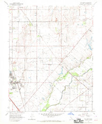
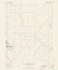
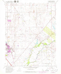
Editions of this 1968 Elk Grove Map
6 editions found
Other maps of this area

1891 · Sacramento
USGS Topo · 1:125,000

1892 · Sacramento
USGS Topo · 1:125,000

1893 · Sacramento
USGS Topo · 1:125,000

1894 · Lodi
USGS Topo · 1:125,000

1902 · Fairoaks
USGS Topo · 1:62,500

1908 · Buffalo Creek
USGS Topo · 1:31,680

1909 · Elk Grove
USGS Topo · 1:31,680

1909 · Clay
USGS Topo · 1:31,680

1909 · Cosumnes
USGS Topo · 1:31,680

1909 · Florin
USGS Topo · 1:31,680