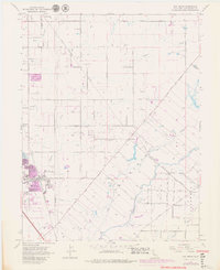
1968 Map of Elk Grove
USGS Topo · Published 1980About this map
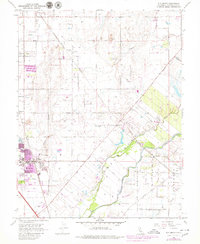
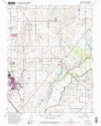
The Cosumnes River and its North Fork define the southeastern corner of this landscape, where the riparian corridor meets the agrarian flats of the Central Valley. In the late 1960s, Elk Grove appears as a concentrated settlement along the Southern Pacific tracks, just beginning to show signs of suburban expansion marked by a Shopping Center and the Elk Grove Convalescent Hospital. To the east, the rural character remains dominant, anchored by smaller communities like Wilton and the crossroads at Walmort. Local infrastructure is well-defined, including the Central Valley State Fish Hatchery and several rural schools such as Pleasant Grove School and Union High School. The map captures the complex transit network of the era, featuring the Central California Traction line and a grid of arterial roads like Grant Line Road and Dillard Road.
Find a feature on this map
51 named features on this map. Tap any name to fly to it.
Don’t see what you’re looking for? This feature index may not catch every label — zoom into the map to look around manually.
Map Details
Editions of this 1968 Elk Grove Map
6 editions found
Other maps of this area

1891 · Sacramento
USGS Topo · 1:125,000

1892 · Sacramento
USGS Topo · 1:125,000

1893 · Sacramento
USGS Topo · 1:125,000

1894 · Lodi
USGS Topo · 1:125,000

1902 · Fairoaks
USGS Topo · 1:62,500

1908 · Buffalo Creek
USGS Topo · 1:31,680

1909 · Elk Grove
USGS Topo · 1:31,680

1909 · Clay
USGS Topo · 1:31,680

1909 · Cosumnes
USGS Topo · 1:31,680

1909 · Florin
USGS Topo · 1:31,680