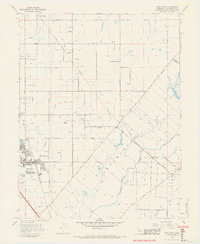
1968 Map of Elk Grove
USGS Topo · Published 1970About this map
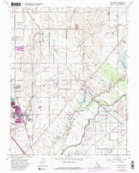
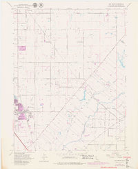
Elk Grove anchors this Sacramento County landscape in the late 1960s, showing a community undergoing significant transition. The map captures the convergence of the Southern Pacific and Central California Traction rail lines, which historically drove the agricultural economy of this region. Beyond the growing town center with its Kerr Jr HS and Shopping Center, the map details a grid of rural roads like Bradshaw Road and Grant Line Road that connect outlying settlements such as Sheldon and the small enclave of Kosova.
Find a feature on this map
53 named features on this map. Tap any name to fly to it.
Don’t see what you’re looking for? This feature index may not catch every label — zoom into the map to look around manually.
Map Details
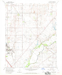
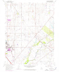
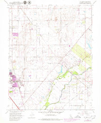
Editions of this 1968 Elk Grove Map
6 editions found
Other maps of this area

1891 · Sacramento
USGS Topo · 1:125,000

1892 · Sacramento
USGS Topo · 1:125,000

1893 · Sacramento
USGS Topo · 1:125,000

1894 · Lodi
USGS Topo · 1:125,000

1902 · Fairoaks
USGS Topo · 1:62,500

1908 · Buffalo Creek
USGS Topo · 1:31,680

1909 · Elk Grove
USGS Topo · 1:31,680

1909 · Clay
USGS Topo · 1:31,680

1909 · Cosumnes
USGS Topo · 1:31,680

1909 · Florin
USGS Topo · 1:31,680