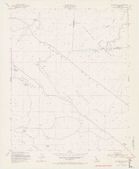
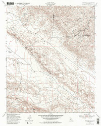
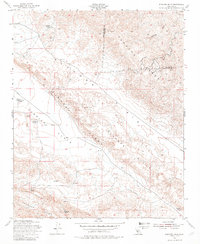
1954 Map of Elkhorn Hills
USGS Topo · Published 1969About this map
AF Traver Ranch and the LE Traver Ranch anchor the western portion of this mid-century landscape, where the distinct geological boundary of the Elkhorn Scarp separates the high Temblor Range from the expansive Carrizo Plain. This 1954 revision, published later in 1969, illustrates a region defined by scattered ranching operations and water management in an arid environment. Small, remote outposts like Cochora Ranch and Hanline Ranch are connected by unimproved dirt roads, while vital water sources such as Padrones Spring and Lawson Spring dictate the patterns of human activity.
Find a feature on this map
19 named features on this map. Tap any name to fly to it.
Don’t see what you’re looking for? This feature index may not catch every label — zoom into the map to look around manually.
Map Details
Editions of this 1954 Elkhorn Hills Map
6 editions found
Other maps of this area

1902 · Santa Ynez
USGS Topo · 1:125,000

1903 · Mt. Pinos
USGS Topo · 1:125,000

1905 · Santa Ynez
USGS Topo · 1:125,000

1910 · Buena Vista Lake
USGS Topo · 1:125,000

1912 · McKittrick
USGS Topo · 1:125,000

1912 · Buena Vista Lake
USGS Topo · 1:125,000

1942 · Ballinger Canyon
USGS Topo · 1:24,000

1942 · East of Cuyama Ranch
USGS Topo · 1:24,000

1943 · Maricopa
USGS Topo · 1:31,680

1943 · Cuyama Ranch
USGS Topo · 1:31,680