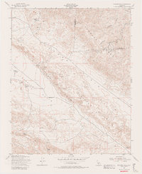
1954 Map of Elkhorn Hills
USGS Topo · Published 1982About this map
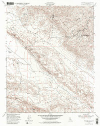
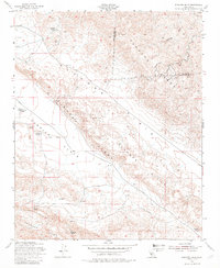
Isolated ranching outposts and geologic faulting define this mid-century view of the San Luis Obispo and Kern County line. The landscape is dominated by the tectonic influence of the Elkhorn Scarp, which cuts a sharp line across the arid Carrizo Plain and Elkhorn Plain. Established family operations such as Cochora Ranch, the A F Traver Ranch, and the L E Traver Ranch represent the sparse settlement of this high-desert basin. The presence of Oil Wells and scattered Oil Tanks in the Temblor Range indicates the early industrial footprint in the hills above the basin. Water, a critical resource, is carefully marked at locations like Lawson Spring and Padrones Spring, providing essential landmarks for local history and land-use research in this sparsely populated region.
Find a feature on this map
20 named features on this map. Tap any name to fly to it.
Don’t see what you’re looking for? This feature index may not catch every label — zoom into the map to look around manually.
Map Details
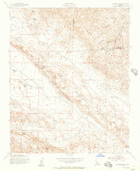
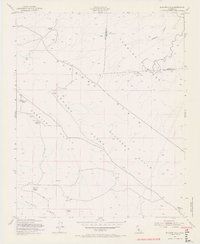
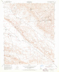
Editions of this 1954 Elkhorn Hills Map
6 editions found
Other maps of this area

1902 · Santa Ynez
USGS Topo · 1:125,000

1903 · Mt. Pinos
USGS Topo · 1:125,000

1905 · Santa Ynez
USGS Topo · 1:125,000

1910 · Buena Vista Lake
USGS Topo · 1:125,000

1912 · McKittrick
USGS Topo · 1:125,000

1912 · Buena Vista Lake
USGS Topo · 1:125,000

1942 · Ballinger Canyon
USGS Topo · 1:24,000

1942 · East of Cuyama Ranch
USGS Topo · 1:24,000

1943 · Maricopa
USGS Topo · 1:31,680

1943 · Cuyama Ranch
USGS Topo · 1:31,680