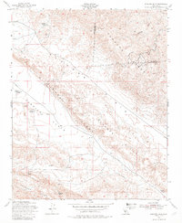
1954 Map of Elkhorn Hills
USGS Topo · Published 1982About this map
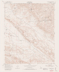
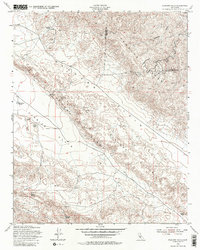
The Elkhorn Scarp and the rugged topography of the Temblor Range define this portion of the San Andreas Fault system in mid-century California. The map captures a landscape of remote cattle operations and early industrial activity, with family-named outposts like Cochora Ranch and the A F Traver Ranch situated between the arid Carrizo Plain and the Elkhorn Plain. Traces of resource extraction are visible through scattered Oil Wells and Oil Tanks, particularly in the northern sections. Life in this challenging environment is anchored by vital water sources such as Lawson Spring and Padrones Spring. The presence of a solitary Cem and several ranch complexes, including the L E Traver Ranch and Hanline Ranch, provides essential data for genealogists tracing the legacy of homesteading and early energy development along the San Luis Obispo and Kern County border.
Find a feature on this map
21 named features on this map. Tap any name to fly to it.
Don’t see what you’re looking for? This feature index may not catch every label — zoom into the map to look around manually.
Map Details
Editions of this 1954 Elkhorn Hills Map
6 editions found
Other maps of this area

1902 · Santa Ynez
USGS Topo · 1:125,000

1903 · Mt. Pinos
USGS Topo · 1:125,000

1905 · Santa Ynez
USGS Topo · 1:125,000

1910 · Buena Vista Lake
USGS Topo · 1:125,000

1912 · McKittrick
USGS Topo · 1:125,000

1912 · Buena Vista Lake
USGS Topo · 1:125,000

1942 · Ballinger Canyon
USGS Topo · 1:24,000

1942 · East of Cuyama Ranch
USGS Topo · 1:24,000

1943 · Maricopa
USGS Topo · 1:31,680

1943 · Cuyama Ranch
USGS Topo · 1:31,680