
1955 Map of Elko
USGS Topo · Published 1974About this map
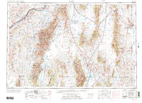
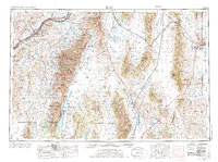
The Humboldt River corridor anchors this mid-century survey of northeastern Nevada, following the dual tracks of the Southern Pacific and Western Pacific railroads through the high desert. The regional hub of Elko serves as the primary center for ranching and transport, while smaller rail stops like Halleck, Deeth, and Osino punctuate the valley floor. To the east, the dramatic rise of the Ruby Mountains and East Humboldt Range defines the horizon, sheltering the Humboldt National Forest and providing the runoff for Lamoille Creek. South of the peaks, the Ruby Lake National Wildlife Refuge and the remote settlement of Shanty Town represent a stark transition into the internal drainage basins of the Great Basin. The map also delineates the South Fork Indian Res and the vast White Horse Flat, illustrating a landscape shaped by indigenous lands, early pioneer trails along the river, and the enduring influence of the transcontinental rail lines.
Find a feature on this map
114 named features on this map. Tap any name to fly to it.
Don’t see what you’re looking for? This feature index may not catch every label — zoom into the map to look around manually.
Map Details
Editions of this 1955 Elko Map
3 editions found
Other maps of this area

1908 · Fish Springs
USGS Topo · 1:250,000

1910 · Fish Springs
USGS Topo · 1:250,000

1925 · Gold Hill
USGS Topo · 1:62,500

1926 · Roberts Mountains
USGS Topo · 1:250,000

1928 · Gold Hill
USGS Topo · 1:62,500

1929 · Roberts Mountains
USGS Topo · 1:250,000

1934 · Jiggs
USGS Topo · 1:125,000

1935 · Halleck
USGS Topo · 1:125,000

1937 · Mineral Hill
USGS Topo · 1:48,000

1937 · Jiggs
USGS Topo · 1:125,000