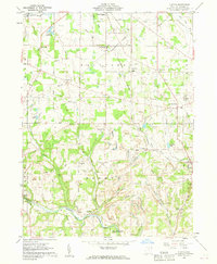
1960 Map of Elkton
USGS Topo · Published 1962About this map
The Middle Fork Little Beaver Creek winds through a landscape defined by industry and conservation in this 1960 survey of Columbiana County. Extensive extraction is evident across the terrain, with numerous Strip Mines documented from Fairfield down to the rugged hills surrounding Rogers. Despite this industrial footprint, the southern reach of the map preserves the natural character of the valley within the Beaver Creek State Forest.
Find a feature on this map
54 named features on this map. Tap any name to fly to it.
Don’t see what you’re looking for? This feature index may not catch every label — zoom into the map to look around manually.
Map Details
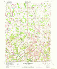
Editions of this 1960 Elkton Map
2 editions found
Other maps of this area

1904 · Wellsville
USGS Topo · 1:62,500

1905 · Salineville
USGS Topo · 1:62,500

1907 · Columbiana
USGS Topo · 1:62,500

1909 · Lisbon
USGS Topo · 1:62,500

1909 · Columbiana
USGS Topo · 1:62,500

1937 · Wellsville
USGS Topo · 1:62,500

1944 · Wellsville
USGS Topo · 1:62,500

1951 · Canton
USGS Topo · 1:250,000

1951 · Columbiana
USGS Topo · 1:24,000
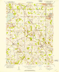
1951 · New Middletown
USGS Topo · 1:24,000