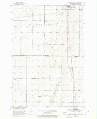
1953 Map of Ellendale South
USGS Topo · Published 1978About this map
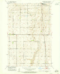
Ellendale serves as the focal point for this survey along the border of North Dakota and South Dakota, where the prairies of Palmyra, Ellendale, and Osceola townships meet. The landscape is defined by the intersection of the Chicago Milwaukee St Paul and Pacific and the Burlington Northern railroads, illustrating the critical role of rail transport in the regional grain and gravel economy. This map reveals a distributed rural educational network, including School No 16, Gustafson Sch, and Senn Sch, which once served the surrounding farmsteads. To the south, the small settlement of Winship sits just across the state line near Dry Branch, providing a detailed view of the borderlands during the mid-20th century. The presence of numerous Gravel Pits and a Windmill suggests a landscape tied to localized extraction and essential water management for agriculture.
Find a feature on this map
19 named features on this map. Tap any name to fly to it.
Don’t see what you’re looking for? This feature index may not catch every label — zoom into the map to look around manually.
Map Details
Editions of this 1953 Ellendale South Map

Other maps of this area

1894 · Monango
USGS Topo · 1:62,500

1894 · Ellendale
USGS Topo · 1:62,500

1894 · Savo
USGS Topo · 1:62,500

1894 · Fullerton
USGS Topo · 1:62,500

1895 · Lamoure
USGS Topo · 1:125,000

1896 · Columbia
USGS Topo · 1:125,000

1896 · Edgeley
USGS Topo · 1:125,000

1899 · Ellendale
USGS Topo · 1:125,000

1918 · La Moure
USGS Topo · 1:125,000

1925 · Edgeley
USGS Topo · 1:125,000