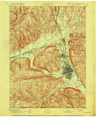
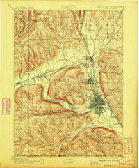
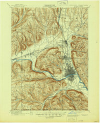
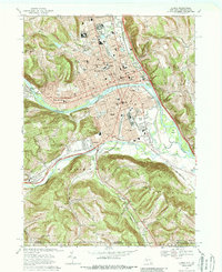
1895 Map of Elmira
USGS Topo · Published 1915About this map
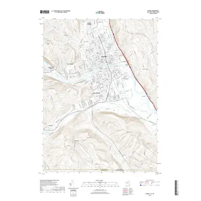
The Elmira city center serves as a dense rail hub at the turn of the century, where the industrial grid sits nestled in the curve of the Chemung River. This 1895 survey reveals a landscape defined by its transit corridors, including the Northern Central Electric R. R. and the Delaware Lackawanna and Western lines that converge near Horseheads. Outside the urban core, the map detail captures the rural character of Chemung County through smaller settlements like Sullivanville and Pine City, and named landmarks such as Mount Zoar and Big Island. To the south, the New York Pennsylvania Boundary Line marks the edge of the survey near Webb Mills. Geographers Henry Gannett and H.M. Wilson directed this work, documenting the complex network of creeks like Newtown Creek and Seely Creek that carved the surrounding hills during this period of significant regional growth.
Find a feature on this map
63 named features on this map. Tap any name to fly to it.
Don’t see what you’re looking for? This feature index may not catch every label — zoom into the map to look around manually.
Map Details
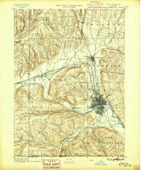
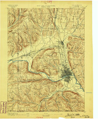
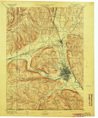
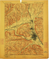
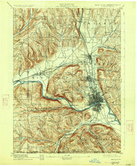
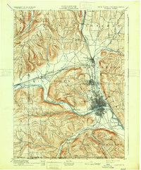
Editions of this 1895 Elmira Map
10 editions found

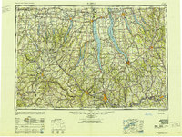
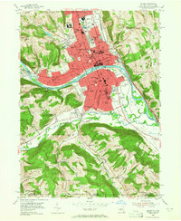
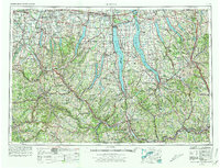
Historical Maps of Elmira Through Time
15 maps found
1895 Elmira
Chemung County, NY
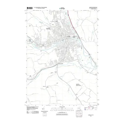
1950 Elmira
Chemung County, NY

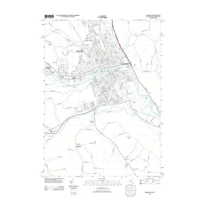
1953 Elmira
Chemung County, NY
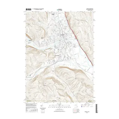
1953 Elmira
Chemung County, NY

1958 Elmira
Chemung County, NY
1962 Elmira
Chemung County, NY

1965 Elmira
Chemung County, NY
1969 Elmira
Chemung County, NY

1986 Elmira
Chemung County, NY

1992 Elmira
Chemung County, NY
2010 Elmira
Chemung County, NY
2013 Elmira
Chemung County, NY
2016 Elmira
Chemung County, NY
2019 Elmira
Chemung County, NY

2023 Elmira
Chemung County, NY