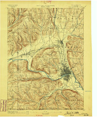
1895 Map of Elmira
USGS Topo · Published 1898About this map
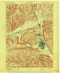
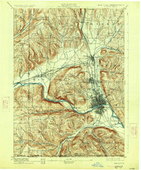
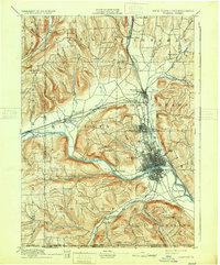
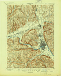
The Chemung River cuts a wide valley through this 1890s survey, serving as the central axis for the industrial and transit hub of Elmira. This era shows the city at a peak of rail connectivity, where the Northern Central R. R. and New York Lake Erie and Western R. R. converge at State Line Junction. The landscape is defined by the contrast between the dense grid of the city and the surrounding ridges, such as Mount Zoar and Hawley Hill, which hem in the river's floodplains.
Find a feature on this map
58 named features on this map. Tap any name to fly to it.
Don’t see what you’re looking for? This feature index may not catch every label — zoom into the map to look around manually.
Map Details
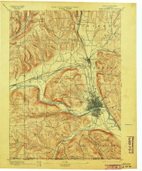
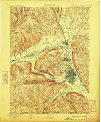
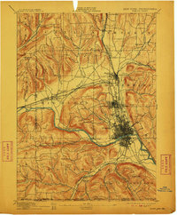
Editions of this 1895 Elmira Map
10 editions found

Other maps of this area

1893 · Ithaca
USGS Topo · 1:62,500

1895 · Ithaca
USGS Topo · 1:62,500

1895 · Elmira
USGS Topo · 1:62,500

1898 · Watkins Glen
USGS Topo · 1:62,500

1900 · Tioga
USGS Topo · 1:62,500

1901 · Watkins
USGS Topo · 1:62,500

1902 · Waverly
USGS Topo · 1:62,500

1902 · Tioga
USGS Topo · 1:62,500

1903 · Hammondsport
USGS Topo · 1:62,500

1905 · Watkins Glen
USGS Topo · 1:125,000