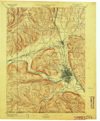
1895 Map of Elmira
USGS Topo · Published 1904About this map
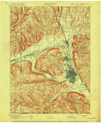
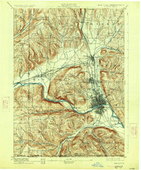
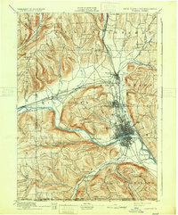
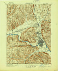
Elmira and its surrounding townships in Chemung County define this late 19th-century landscape, appearing here as a significant rail and river hub. The Chemung River cuts through the center of the sheet, flanked by the steep elevations of Mount Zoar and Hawley Hill. The density of the street grid in the city contrasts with the dispersed rural settlements like Sullivanville and Pine City, reflecting the period's regional growth patterns.
Find a feature on this map
66 named features on this map. Tap any name to fly to it.
Don’t see what you’re looking for? This feature index may not catch every label — zoom into the map to look around manually.
Map Details
Editions of this 1895 Elmira Map
10 editions found

Other maps of this area

1893 · Ithaca
USGS Topo · 1:62,500

1895 · Ithaca
USGS Topo · 1:62,500

1895 · Elmira
USGS Topo · 1:62,500

1898 · Watkins Glen
USGS Topo · 1:62,500

1900 · Tioga
USGS Topo · 1:62,500

1901 · Watkins
USGS Topo · 1:62,500

1902 · Waverly
USGS Topo · 1:62,500

1902 · Tioga
USGS Topo · 1:62,500

1903 · Hammondsport
USGS Topo · 1:62,500

1905 · Watkins Glen
USGS Topo · 1:125,000