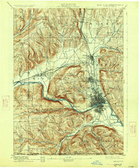
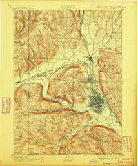
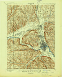
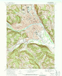
1895 Map of Elmira
USGS Topo · Published 1926About this map
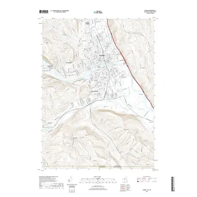
The Chemung River valley serves as the industrial and transportation corridor for the Southern Tier in the late 19th century, dominated by the dense urban grid of Elmira. This survey shows the region as a major railroad hub where the Lehigh Valley R. R., Northern Central R. R., and the Delaware Lackawanna and Western R. R. converge. To the north, Horseheads and Elmira Heights appear as established settlements linked by the Electric R. R., while the southern reaches near the Pennsylvania border are defined by family-named hamlets like Webb Mills and Seely. The landscape is a sharp contrast between the flat, developed valley floors and the steep elevations of Mount Zoar and Hawley Hill. Notable landmarks such as the Big Island in the river and the river crossing at Fitch Bridge provide specific points of interest for local history researchers.
Find a feature on this map
63 named features on this map. Tap any name to fly to it.
Don’t see what you’re looking for? This feature index may not catch every label — zoom into the map to look around manually.
Map Details
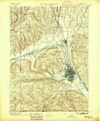
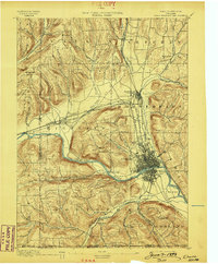
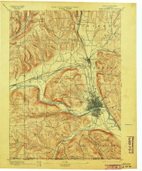
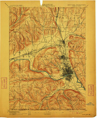
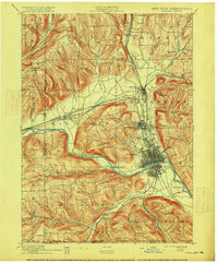
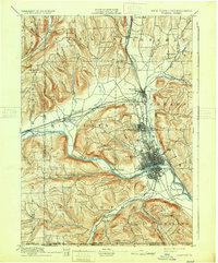
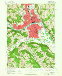
Editions of this 1895 Elmira Map
10 editions found

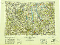
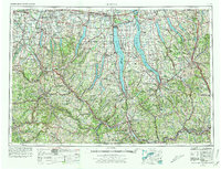
Historical Maps of Elmira Through Time
15 maps found
1895 Elmira
Chemung County, NY
1950 Elmira
Chemung County, NY

1953 Elmira
Chemung County, NY
1953 Elmira
Chemung County, NY

1958 Elmira
Chemung County, NY
1962 Elmira
Chemung County, NY

1965 Elmira
Chemung County, NY
1969 Elmira
Chemung County, NY

1986 Elmira
Chemung County, NY

1992 Elmira
Chemung County, NY
2010 Elmira
Chemung County, NY
2013 Elmira
Chemung County, NY
2016 Elmira
Chemung County, NY
2019 Elmira
Chemung County, NY

2023 Elmira
Chemung County, NY