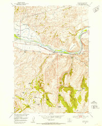
1951 Map of Elton
USGS Topo · Published 1953About this map
The Yellowstone River cuts through the heart of this mid-century Montana landscape, flanked by the Northern Pacific railroad and a complex network of irrigation ditches. The region's agricultural and industrial life is documented through features like the Upper Windsor Ditch and the Gow Sawmill (Inactive), reflecting a period when water management was central to local ranching operations. The terrain transitions from the river valley up toward Buffalo Hump and through McAdows Canyon, where high-elevation homesteading had already begun to recede by the early 1950s.
Find a feature on this map
36 named features on this map. Tap any name to fly to it.
Don’t see what you’re looking for? This feature index may not catch every label — zoom into the map to look around manually.
Map Details
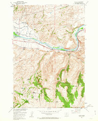
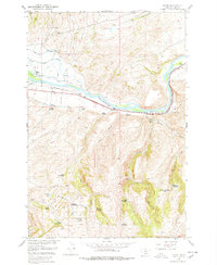
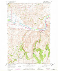
Editions of this 1951 Elton Map
5 editions found

Other maps of this area

1891 · Livingston
USGS Topo · 1:250,000

1893 · Livingston
USGS Topo · 1:250,000

1947 · Bozeman
USGS Topo · 1:250,000

1948 · Bozeman
USGS Topo · 1:250,000

1951 · Mount Rae
USGS Topo · 1:24,000

1951 · Grannis
USGS Topo · 1:24,000

1951 · Kelly Hills
USGS Topo · 1:24,000

1951 · Livingston Peak
USGS Topo · 1:24,000

1951 · Springdale
USGS Topo · 1:24,000

1951 · Mc Leod Basin
USGS Topo · 1:24,000