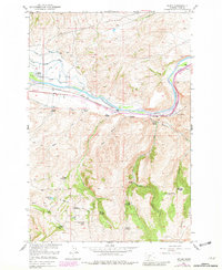
1951 Map of Elton
USGS Topo · Published 1981About this map
The Yellowstone River cuts a wide path through this northern Park County landscape, defining the corridor for the Burlington Northern railroad and the small settlement of Elton. This 1951 survey, updated with 1977 aerial revisions, shows a rural economy pivoting between active cattle ranching and a fading era of early homesteading. While working operations like the Windsor Ranch, Francis Ranch, and Peterson Ranch persist, the map is heavily marked by the remnants of the original settlement era. Many structures, including the Locke Creek School and numerous family dwellings such as the Tenland Homestead and Alkire Homestead, are noted as abandoned. The intricate irrigation network, including the Upper Windsor Ditch and Middle Windsor Ditch, demonstrates the complex water management required to support agriculture in the high country between McAdows Canyon and Oregon Valley.
Find a feature on this map
36 named features on this map. Tap any name to fly to it.
Don’t see what you’re looking for? This feature index may not catch every label — zoom into the map to look around manually.
Map Details
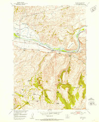
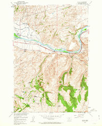
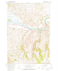
Editions of this 1951 Elton Map
5 editions found

Other maps of this area

1891 · Livingston
USGS Topo · 1:250,000

1893 · Livingston
USGS Topo · 1:250,000

1947 · Bozeman
USGS Topo · 1:250,000

1948 · Bozeman
USGS Topo · 1:250,000

1951 · Mount Rae
USGS Topo · 1:24,000

1951 · Grannis
USGS Topo · 1:24,000

1951 · Kelly Hills
USGS Topo · 1:24,000

1951 · Livingston Peak
USGS Topo · 1:24,000

1951 · Springdale
USGS Topo · 1:24,000

1951 · Mc Leod Basin
USGS Topo · 1:24,000