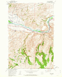
1951 Map of Elton
USGS Topo · Published 1963About this map
The Yellowstone River cuts a central path through this Montana landscape, framed by the Northern Pacific railroad and the historic Old Yellowstone Trail. The settlement of Elton serves as a small waypoint along the tracks, but the map reveals a more extensive history of upland settlement that was already fading by the early 1950s. High above the river valley in areas like Oregon Valley, numerous properties are marked as abandoned, including the Locke Creek School and several family sites such as the Wilcox Homestead and Troutman Homestead.
Find a feature on this map
33 named features on this map. Tap any name to fly to it.
Don’t see what you’re looking for? This feature index may not catch every label — zoom into the map to look around manually.
Map Details
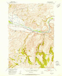
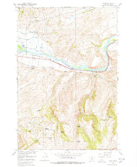
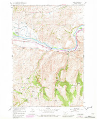
Editions of this 1951 Elton Map
5 editions found

Other maps of this area

1891 · Livingston
USGS Topo · 1:250,000

1893 · Livingston
USGS Topo · 1:250,000

1947 · Bozeman
USGS Topo · 1:250,000

1948 · Bozeman
USGS Topo · 1:250,000

1951 · Mount Rae
USGS Topo · 1:24,000

1951 · Grannis
USGS Topo · 1:24,000

1951 · Kelly Hills
USGS Topo · 1:24,000

1951 · Livingston Peak
USGS Topo · 1:24,000

1951 · Springdale
USGS Topo · 1:24,000

1951 · Mc Leod Basin
USGS Topo · 1:24,000