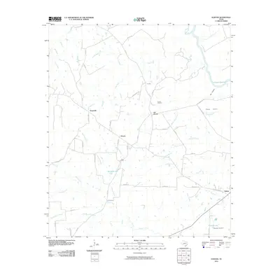
2010 Map of Elwood
USGS Topo · Published 2010About this map
The Old San Antonio Rd (OSR) anchors the southeastern corner of this Madison County landscape, tracing a historic travel corridor through a region defined by creeks and small communities. This survey reveals a transition between older settlements and contemporary infrastructure, with Old Elwood and Elwood situated north of the historic road. The area's genealogy is preserved at Tan Yard Cemetery and Alphin Cemetery, while the rural economy is marked by scattered homesteads and local names like Dingerville and Tan Yard.
Find a feature on this map
55 named features on this map. Tap any name to fly to it.
Don’t see what you’re looking for? This feature index may not catch every label — zoom into the map to look around manually.
Map Details
Editions of this 2010 Elwood Map
This is the sole edition of this map. No revisions or reprints were ever made.
Other maps of this area

1953 · Palestine
USGS Topo · 1:250,000

1954 · Beaumont
USGS Topo · 1:250,000

1957 · Beaumont
USGS Topo · 1:250,000

1957 · Palestine
USGS Topo · 1:250,000

1962 · Connor
USGS Topo · 1:24,000

1962 · Baker Lake
USGS Topo · 1:24,000

1963 · Madisonville
USGS Topo · 1:24,000

1964 · Sand Ridge
USGS Topo · 1:24,000

1964 · Austonio
USGS Topo · 1:24,000

1964 · Middleton
USGS Topo · 1:24,000