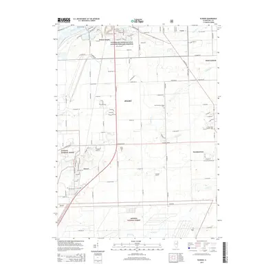
2015 Map of Elwood
USGS Topo · Published 2015About this map
The Midewin National Forest dominates the southern landscape of this 2015 survey, where industrial borders meet conserved prairie land. In the northwest, the Des Plaines River and the Illinois and Michigan Canal National Heritage Corridor mark the historic transportation spine of the region near Preston Heights. This era of Will County history shows the suburban expansion of Joliet and New Lenox pushing against traditional agricultural spaces. Local history and genealogy are preserved in sites like the Saint Joseph Guardian Angels Cem and the small Brown Church cemetery. Waterways including Jackson Creek and Prairie Creek meander through the terrain, illustrating the drainage patterns that shaped the early layout of Elwood and Manhattan. Small-scale aviation is represented by Sweedler Airport, while the dense grid of county roads connects these growing communities.
Find a feature on this map
56 named features on this map. Tap any name to fly to it.
Don’t see what you’re looking for? This feature index may not catch every label — zoom into the map to look around manually.
Map Details
Editions of this 2015 Elwood Map
This is the sole edition of this map. No revisions or reprints were ever made.
Other maps of this area
1890 · Des Plaines
USGS Topo · 1:62,500
1892 · Joliet
USGS Topo · 1:62,500
1892 · Wilmington
USGS Topo · 1:62,500
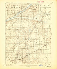
1894 · Des Plaines
USGS Topo · 1:62,500
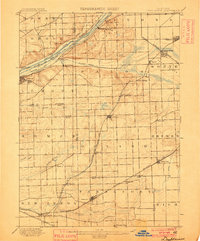
1900 · Des Plaines
USGS Topo · 1:62,500
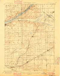
1901 · Des Plaines
USGS Topo · 1:62,500
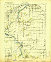
1918 · Wilmington
USGS Topo · 1:62,500
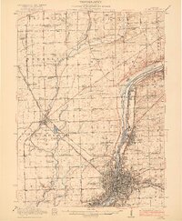
1923 · Joliet
USGS Topo · 1:62,500
1929 · Brisbane
USGS Topo · 1:24,000
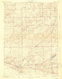
1929 · Mokena
USGS Topo · 1:24,000