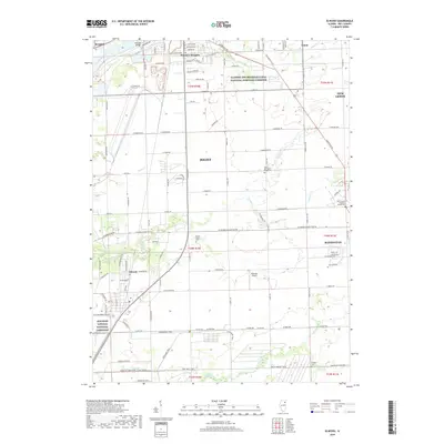
2018 Map of Elwood
USGS Topo · Published 2018About this map
Abraham Lincoln National Cemetery anchors the southern portion of this landscape, reflecting its modern importance to the region south of Joliet. The terrain is defined by the convergence of several waterways, including Jackson Creek and Prairie Creek, which cut through a grid of rural and industrial zones. To the north, the Illinois and Michigan Canal National Heritage Corridor traces the historic path of commerce along the Des Plaines River, bordering Rockdale and Preston Heights. Local history is preserved through scattered burial grounds like North Providence Ridge Cem and Brown Church Cem, while the inclusion of Sweedler Airport highlights the mid-century aviation infrastructure that persists alongside suburban expansion in Manhattan and New Lenox.
Find a feature on this map
75 named features on this map. Tap any name to fly to it.
Don’t see what you’re looking for? This feature index may not catch every label — zoom into the map to look around manually.
Map Details
Editions of this 2018 Elwood Map
This is the sole edition of this map. No revisions or reprints were ever made.
Other maps of this area
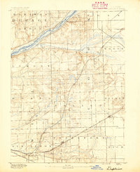
1890 · Des Plaines
USGS Topo · 1:62,500
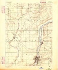
1892 · Joliet
USGS Topo · 1:62,500
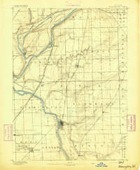
1892 · Wilmington
USGS Topo · 1:62,500
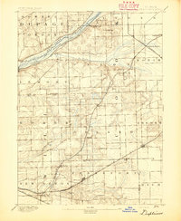
1894 · Des Plaines
USGS Topo · 1:62,500
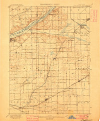
1900 · Des Plaines
USGS Topo · 1:62,500
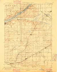
1901 · Des Plaines
USGS Topo · 1:62,500
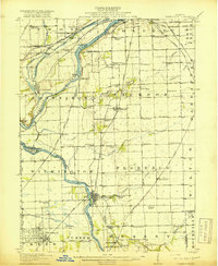
1918 · Wilmington
USGS Topo · 1:62,500
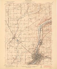
1923 · Joliet
USGS Topo · 1:62,500
1929 · Brisbane
USGS Topo · 1:24,000
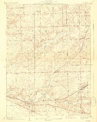
1929 · Mokena
USGS Topo · 1:24,000