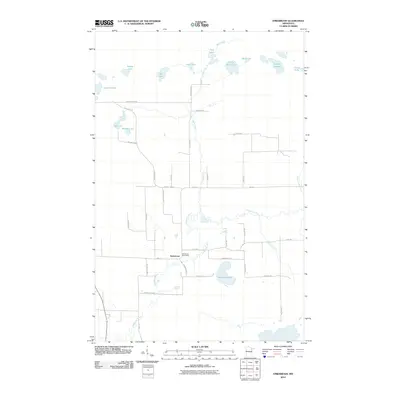
2010 Map of Embarrass
USGS Topo · Published 2010About this map
The settlement of Embarrass serves as the focal point for this 2010 U.S. Geological Survey study, situated at the confluence of local transit and river geography. The Embarrass River meanders across the southern landscape, supported by a network of tributaries including Trimble Creek and Bear Creek. This area of Saint Louis County is defined by its dense collection of small glacial water bodies, with Heikkila Lake, Lempia Lakes, and the Falls Lakes providing significant landmarks.
Find a feature on this map
44 named features on this map. Tap any name to fly to it.
Don’t see what you’re looking for? This feature index may not catch every label — zoom into the map to look around manually.
Map Details
Editions of this 2010 Embarrass Map
This is the sole edition of this map. No revisions or reprints were ever made.
Other maps of this area

1949 · Aurora
USGS Topo · 1:24,000

1949 · Isaac Lake
USGS Topo · 1:24,000

1949 · Allen
USGS Topo · 1:24,000

1949 · Embarrass
USGS Topo · 1:24,000

1950 · Isaac Lake
USGS Topo · 1:24,000

1950 · Embarrass
USGS Topo · 1:24,000

1950 · Allen
USGS Topo · 1:24,000

1950 · Aurora
USGS Topo · 1:24,000

1950 · Biwabik
USGS Topo · 1:24,000

1950 · Biwabik NE
USGS Topo · 1:24,000