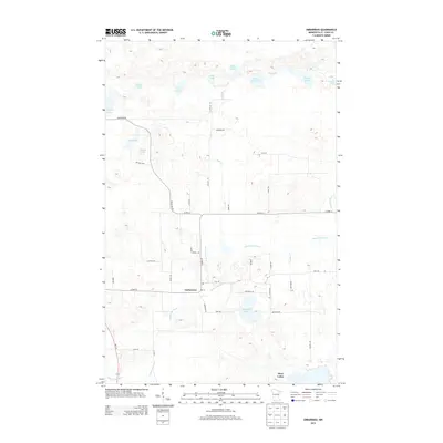
2013 Map of Embarrass
USGS Topo · Published 2013About this map
Embarrass serves as the central settlement in this portion of Saint Louis County, situated along a bend of the Embarrass River. This landscape is defined by its glacial hydrology, featuring a dense network of water bodies such as Heikkilla Lake, Little Birch Lake, and the Fishing Lakes. The area's road network reflects the cultural history of the Iron Range, with many local routes bearing family names like Saranpaa Rd, Pylka Rd, and Waisanen Rd. These namesake roads, along with the Po (post office) in Embarrass, highlight the localized, agrarian-based settlement patterns that persisted into the early 21st century. The southeastern corner provides a glimpse into the outskirts of Hoyt Lakes, where the terrain transitions into more expansive water features.
Find a feature on this map
47 named features on this map. Tap any name to fly to it.
Don’t see what you’re looking for? This feature index may not catch every label — zoom into the map to look around manually.
Map Details
Editions of this 2013 Embarrass Map
This is the sole edition of this map. No revisions or reprints were ever made.
Other maps of this area
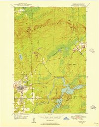
1949 · Aurora
USGS Topo · 1:24,000
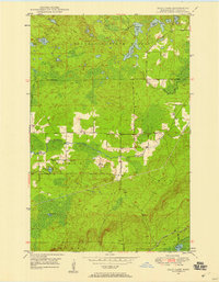
1949 · Isaac Lake
USGS Topo · 1:24,000
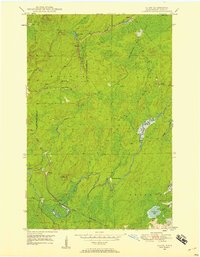
1949 · Allen
USGS Topo · 1:24,000
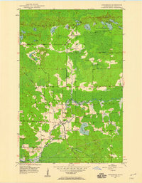
1949 · Embarrass
USGS Topo · 1:24,000
1950 · Isaac Lake
USGS Topo · 1:24,000
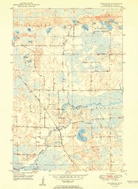
1950 · Embarrass
USGS Topo · 1:24,000
1950 · Allen
USGS Topo · 1:24,000
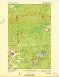
1950 · Aurora
USGS Topo · 1:24,000
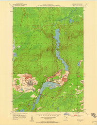
1950 · Biwabik
USGS Topo · 1:24,000
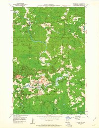
1950 · Biwabik NE
USGS Topo · 1:24,000