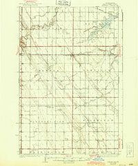
1936 Map of Emerado
USGS Topo · Published 1943About this map
Blooming Town Hall and a network of one-room schoolhouses anchor this agricultural landscape in the mid-1930s. The region is defined by the Great Northern railroad corridor, which connects the grain-handling settlements of Arvilla, Emerado, and Ojata. Outside these rail hubs, the landscape is organized into distinct townships like Oakville and Pleasant View, where rural life centered on local institutions such as Cooper Sch, Gilbert Sch, and Mc Cray Sch.
Find a feature on this map
37 named features on this map. Tap any name to fly to it.
Don’t see what you’re looking for? This feature index may not catch every label — zoom into the map to look around manually.
Map Details
Editions of this 1936 Emerado Map
3 editions found
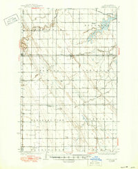
Other maps of this area

1926 · Ardoch
USGS Topo · 1:62,500

1934 · Emerado
USGS Topo · 1:48,000

1934 · Grand Forks
USGS Topo · 1:62,500

1936 · Emerado
USGS Topo · 1:62,500

1936 · Larimore
USGS Topo · 1:62,500

1938 · Grand Forks
USGS Topo · 1:62,500

1952 · Grand Forks
USGS Topo · 1:250,000

1952 · Thief River Falls
USGS Topo · 1:250,000

1956 · Thief River Falls
USGS Topo · 1:250,000

1956 · Grand Forks
USGS Topo · 1:250,000