
1936 Map of Emerado
USGS Topo · Published 1936About this map
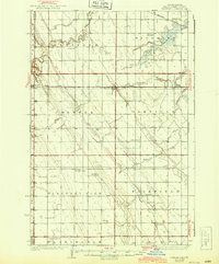
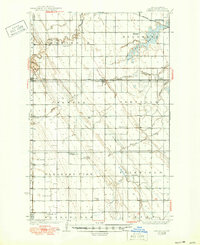
Emerado sits at the heart of this agricultural landscape in the mid-1930s, defined by the steady grid of the Red River Valley. The Great Northern railroad cuts a straight line through the territory, linking the settlements of Arvilla and Ojata across the prairie. This era shows a densely organized rural community, where nearly every township section is served by a localized schoolhouse, such as Cooper Sch or Mc Cray Sch. The topography is subtly marked by the winding path of the Turtle River and the expansive Kelly Slough to the northeast. Beyond the rails, the transition of the local economy is visible through the infrastructure of U S Highway No 2 and State Highway No 15, which began to modernize transport for the residents of Blooming and Pleasant View. Local civic life is anchored at the Blooming Town Hall and spiritual centers like Washington Ch.
Find a feature on this map
35 named features on this map. Tap any name to fly to it.
Don’t see what you’re looking for? This feature index may not catch every label — zoom into the map to look around manually.
Map Details
Editions of this 1936 Emerado Map
3 editions found
Other maps of this area

1926 · Ardoch
USGS Topo · 1:62,500

1934 · Emerado
USGS Topo · 1:48,000

1934 · Grand Forks
USGS Topo · 1:62,500

1936 · Larimore
USGS Topo · 1:62,500

1938 · Grand Forks
USGS Topo · 1:62,500

1952 · Grand Forks
USGS Topo · 1:250,000

1952 · Thief River Falls
USGS Topo · 1:250,000

1956 · Thief River Falls
USGS Topo · 1:250,000

1956 · Grand Forks
USGS Topo · 1:250,000

1957 · Thief River Falls
USGS Topo · 1:250,000