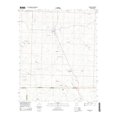
2014 Map of Emerson
USGS Topo · Published 2014About this map
Emerson serves as the central hub of this 2014 survey, where Us-79 S intersects several local routes like Grayson St and Mullins St. The landscape is defined by the transition between the rolling hills of southern Arkansas and northern Louisiana, where several named branches and creeks including Little Cypress Cr, Panther Br, and Kings Cr drain the terrain. Industrial footprints are prominent along the state line, particularly within the Haynesville Oil Field and the Haynesville Oil and Gas Field, which stretch across the boundary of Columbia County and Claiborne Parish. Genealogists will find several burial sites preserved across these rural tracts, such as Providence Cem and Elliott Cem in the east, and Anderson Cem near the state border. Small crossroads and settlements like Mohawk and Forest Grove provide additional geographic markers for those tracing family ties to this borderland region.
Find a feature on this map
61 named features on this map. Tap any name to fly to it.
Don’t see what you’re looking for? This feature index may not catch every label — zoom into the map to look around manually.
Map Details
Editions of this 2014 Emerson Map
This is the sole edition of this map. No revisions or reprints were ever made.
Other maps of this area

1922 · Sarepta
USGS Topo · 1:62,500

1924 · Sarepta
USGS Topo · 1:62,500

1952 · Homer
USGS Topo · 1:62,500

1953 · El Dorado
USGS Topo · 1:250,000

1955 · Shreveport
USGS Topo · 1:250,000

1956 · Shreveport
USGS Topo · 1:250,000

1956 · Sarepta
USGS Topo · 1:62,500

1957 · El Dorado
USGS Topo · 1:250,000

1958 · El Dorado
USGS Topo · 1:250,000

1960 · El Dorado
USGS Topo · 1:250,000