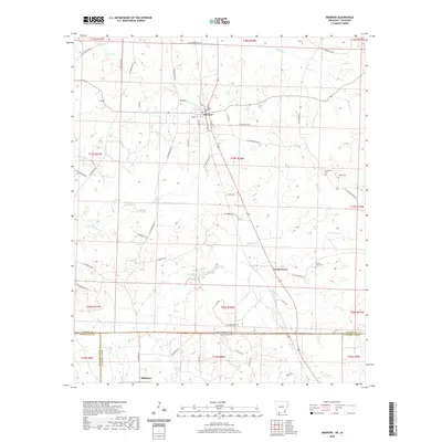
2020 Map of Emerson
USGS Topo · Published 2020About this map
Emerson sits at a crossroads of the South Arkansas timberlands and the Louisiana state line, serving as the primary hub for a landscape defined by its creek drainage systems and agricultural history. The town is structured around a network of streets including S Elm St, S Davis St, and Grayson St, showing a small-town grid that transitions into the rural tracts of Columbia County. The surrounding territory is carved by a series of waterways, notably the Little Cypress Cr and N Cypress Cr, which flow through the forested terrain. Evidence of long-standing community roots is found in several burial grounds, such as Providence Cem and Forest Grove Cem. To the south, the settlement of Millerton marks the approach to the Louisiana border, where the land patterns shift into Webster Parish and Claiborne Parish.
Find a feature on this map
68 named features on this map. Tap any name to fly to it.
Don’t see what you’re looking for? This feature index may not catch every label — zoom into the map to look around manually.
Map Details
Editions of this 2020 Emerson Map
This is the sole edition of this map. No revisions or reprints were ever made.
Other maps of this area

1922 · Sarepta
USGS Topo · 1:62,500

1924 · Sarepta
USGS Topo · 1:62,500

1952 · Homer
USGS Topo · 1:62,500

1953 · El Dorado
USGS Topo · 1:250,000

1955 · Shreveport
USGS Topo · 1:250,000

1956 · Shreveport
USGS Topo · 1:250,000

1956 · Sarepta
USGS Topo · 1:62,500

1957 · El Dorado
USGS Topo · 1:250,000

1958 · El Dorado
USGS Topo · 1:250,000

1960 · El Dorado
USGS Topo · 1:250,000