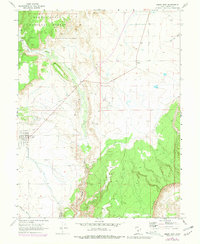
1968 Map of Emery East
USGS Topo · Published 1979About this map
The settlement of Emery serves as the focal point for this landscape, where the flatlands meet the rising elevations of the Manti-La Sal National Forest. This late 1960s survey, updated with late 1970s photogrammetric data, shows a region defined by its water management and geology. Muddy Creek winds through the central valley, supported by a Gaging Station, while the dramatic Molen Reef Cliffs dominate the southeastern quadrant.
Find a feature on this map
17 named features on this map. Tap any name to fly to it.
Don’t see what you’re looking for? This feature index may not catch every label — zoom into the map to look around manually.
Map Details
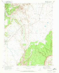
Editions of this 1968 Emery East Map
2 editions found
Other maps of this area

1885 · Manti
USGS Topo · 1:250,000

1885 · Fish Lake
USGS Topo · 1:250,000

1895 · Manti
USGS Topo · 1:250,000

1896 · Fish Lake
USGS Topo · 1:250,000

1922 · Wasatch
USGS Topo · 1:31,680

1923 · Castle Dale
USGS Topo · 1:62,500

1925 · Castle Dale
USGS Topo · 1:62,500

1925 · Acord Lakes
USGS Topo · 1:62,500

1953 · Emery 1 NE
USGS Topo · 1:24,000

1953 · Emery 1 SE
USGS Topo · 1:24,000