
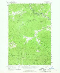
1957 Map of Emida
USGS Topo · Published 1959About this map
The St Maries River carves a winding path through this northern Idaho landscape, closely followed by the tracks of the Chicago Milwaukee St Paul and Pacific railroad. The settlement of Emida serves as a central point in a terrain defined by the heavy timber of the St Joe National Forest. This 1957 field-checked survey documents a transition in local land use, identifying the Hollywood (Site) alongside active mountain outposts like Lotus and Rover. The map reveals a complex network of drainage basins, including Santa Creek and Alder Creek, which supported the region's early development. Significant peaks such as Emida Peak and Tyson Peak rise above the valleys, while specialized sites like Cedar Grove Camp and several identified gravel pits point to the specific forest and infrastructure needs of the late 1950s.
Find a feature on this map
82 named features on this map. Tap any name to fly to it.
Don’t see what you’re looking for? This feature index may not catch every label — zoom into the map to look around manually.
Map Details
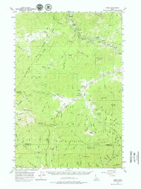
Editions of this 1957 Emida Map
3 editions found
Other maps of this area

1955 · Pullman
USGS Topo · 1:250,000

1955 · Spokane
USGS Topo · 1:250,000

1957 · St. Maries
USGS Topo · 1:62,500

1957 · Plummer
USGS Topo · 1:62,500

1957 · Tensed
USGS Topo · 1:62,500

1957 · St. Joe
USGS Topo · 1:62,500

1958 · Spokane
USGS Topo · 1:250,000

1958 · Pullman
USGS Topo · 1:250,000

1960 · Potlatch
USGS Topo · 1:62,500

1961 · Deary
USGS Topo · 1:62,500