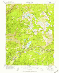
1955 Map of Emigrant Gap
USGS Topo · Published 1957About this map
Graniteville and the surrounding Sierra Nevada foothills define this mid-century topographic portrait of a landscape shaped by mining and hydraulic engineering. The map reveals a complex infrastructure of water management, featuring the South Yuba Canal, Boardman Canal, and numerous tunnels like the Clear Creek Tunnel and Rucker Tunnel. These systems served both the power needs of the Rim Powerhouse and the extensive gold mining operations found throughout the region, such as the Gaston Mine and the Zeibright Mine.
Find a feature on this map
174 named features on this map. Tap any name to fly to it.
Don’t see what you’re looking for? This feature index may not catch every label — zoom into the map to look around manually.
Map Details
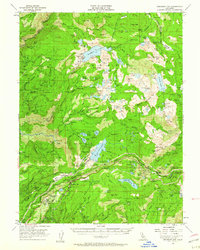
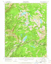
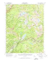
Editions of this 1955 Emigrant Gap Map
4 editions found
Other maps of this area

1890 · Sierraville
USGS Topo · 1:125,000

1891 · Downieville
USGS Topo · 1:125,000

1891 · Colfax
USGS Topo · 1:125,000

1891 · Truckee
USGS Topo · 1:125,000

1892 · Sierraville
USGS Topo · 1:125,000

1892 · Colfax
USGS Topo · 1:125,000

1893 · Truckee
USGS Topo · 1:125,000

1893 · Downieville
USGS Topo · 1:125,000

1894 · Colfax
USGS Topo · 1:125,000

1894 · Sierraville
USGS Topo · 1:125,000