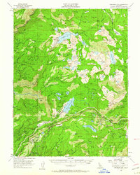
1955 Map of Emigrant Gap
USGS Topo · Published 1960About this map
Emigrant Gap and the surrounding high Sierra terrain are defined here by a dense network of early industrial and transportation infrastructure. The Southern Pacific railroad follows the ridge line above the South Yuba River, serving mountain settlements like Cisco and Cisco Grove. The landscape is a complex map of water management, featuring the Bowman Spaulding Conduit and the Drum Canal, which link major reservoirs such as Bowman Lake and Lake Spaulding.
Find a feature on this map
151 named features on this map. Tap any name to fly to it.
Don’t see what you’re looking for? This feature index may not catch every label — zoom into the map to look around manually.
Map Details
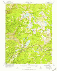
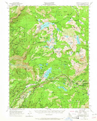
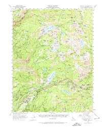
Editions of this 1955 Emigrant Gap Map
4 editions found
Other maps of this area

1890 · Sierraville
USGS Topo · 1:125,000

1891 · Downieville
USGS Topo · 1:125,000

1891 · Colfax
USGS Topo · 1:125,000

1891 · Truckee
USGS Topo · 1:125,000

1892 · Sierraville
USGS Topo · 1:125,000

1892 · Colfax
USGS Topo · 1:125,000

1893 · Truckee
USGS Topo · 1:125,000

1893 · Downieville
USGS Topo · 1:125,000

1894 · Colfax
USGS Topo · 1:125,000

1894 · Sierraville
USGS Topo · 1:125,000