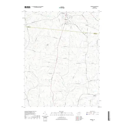
2019 Map of Eminence
USGS Topo · Published 2019About this map
The ridge-and-valley landscape of the Henry and Shelby county line is defined by the headwaters of the Little Kentucky River and E Fork Floyds Fork. The town of Eminence serves as the primary hub, with its grid extending south toward the drainage of Fox Run and Bullskin Cr. This modern survey illustrates the persistent rural character of the region, where family legacies are preserved at Watkins Cem, Eminence Cem, and Magruder Cem. Small settlements like Bellview and Mulberry anchor the eastern and southern edges of the sheet, connected by a network of established pikes and roads such as Narrow Gage Pike and Eminence Pike. The presence of Flying C Farms Airport and Rooster Field highlights the local aviation footprint amidst the agricultural terrain and meandering waterways like Clear Cr.
Find a feature on this map
66 named features on this map. Tap any name to fly to it.
Don’t see what you’re looking for? This feature index may not catch every label — zoom into the map to look around manually.
Map Details
Editions of this 2019 Eminence Map
This is the sole edition of this map. No revisions or reprints were ever made.
Other maps of this area
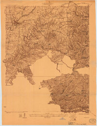
1923 · Waddy
USGS Topo · 1:48,000
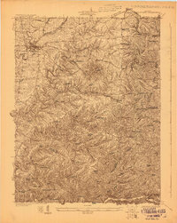
1925 · Mount Eden
USGS Topo · 1:48,000
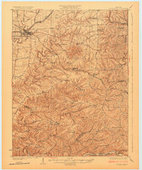
1927 · Mount Eden
USGS Topo · 1:62,500
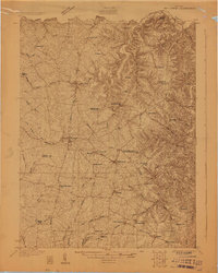
1928 · New Castle
USGS Topo · 1:48,000
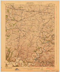
1929 · Taylorsville
USGS Topo · 1:62,500
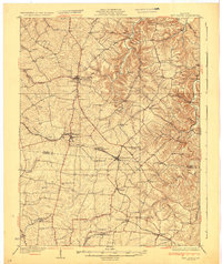
1932 · New Castle
USGS Topo · 1:62,500
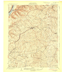
1932 · La Grange
USGS Topo · 1:62,500
1954 · Ballardsville
USGS Topo · 1:24,000
1954 · New Castle
USGS Topo · 1:24,000
1954 · Eminence
USGS Topo · 1:24,000