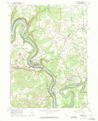
1963 Map of Emlenton
USGS Topo · Published 1971About this map
The Allegheny River carves a deep, winding path through this western Pennsylvania landscape, where the industry of the early 1960s is clearly etched into the terrain. Numerous gas and oil wells dot the hillsides of the extensive Oil Field, while several active Strip Mines reflect the region's extraction-based economy. The river serves as a corridor for the Pennsylvania railroad lines and connects the primary settlements of Emlenton and Foxburg.
Find a feature on this map
44 named features on this map. Tap any name to fly to it.
Don’t see what you’re looking for? This feature index may not catch every label — zoom into the map to look around manually.
Map Details
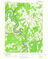
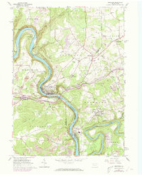
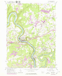
Editions of this 1963 Emlenton Map
4 editions found
Other maps of this area

1907 · Foxburg
USGS Topo · 1:62,500

1908 · Foxburg
USGS Topo · 1:62,500

1909 · Franklin
USGS Topo · 1:62,500

1910 · Hilliards
USGS Topo · 1:62,500

1911 · Franklin
USGS Topo · 1:62,500

1912 · Hilliards
USGS Topo · 1:62,500

1922 · Oil City
USGS Topo · 1:48,000

1924 · Oil City
USGS Topo · 1:62,500

1943 · Oil City
USGS Topo · 1:62,500

1944 · Hilliards
USGS Topo · 1:62,500