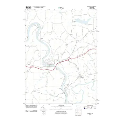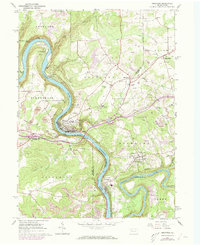
1963 Map of Emlenton
USGS Topo · Published 1973About this map
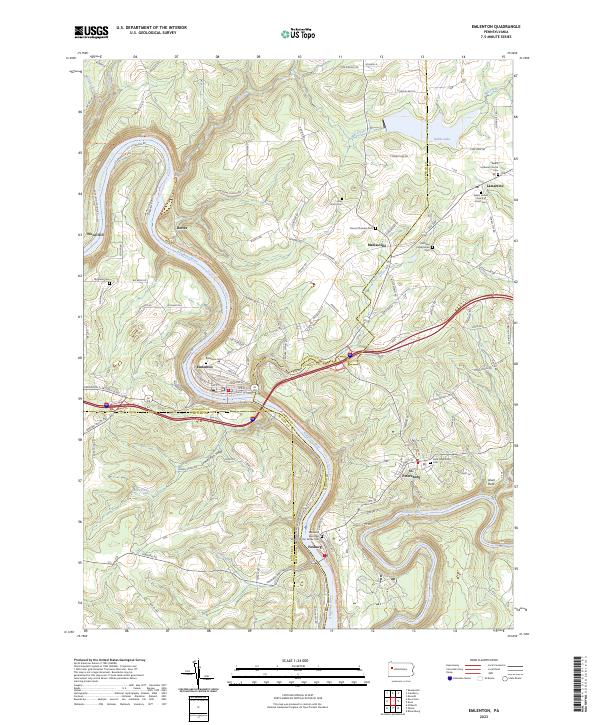
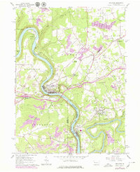
The Allegheny River carves a deep, winding course through this landscape, serving as the historical boundary for Venango, Clarion, Butler, and Armstrong counties. In the early 1960s, the region's industrial character was defined by a dense network of gas wells and numerous strip mines that pockmark the uplands around St Petersburg and Emlenton. Transport corridors follow the river's sinuous path, with the Penn Central railroad and Rockland Tunnel navigating the steep valley walls. The confluence with the Clarion River at Foxburg highlights a critical junction of waterway commerce and rail development, including the Baltimore and Ohio line. Local social life is anchored by community landmarks such as West Home Ch, Richland Ch, and the Emlenton Airport, while recreational spaces like the Allegheny Valley Camp and a Golf Course near the riverbanks suggest the area's transition towards modern leisure use.
Find a feature on this map
46 named features on this map. Tap any name to fly to it.
Don’t see what you’re looking for? This feature index may not catch every label — zoom into the map to look around manually.
Map Details
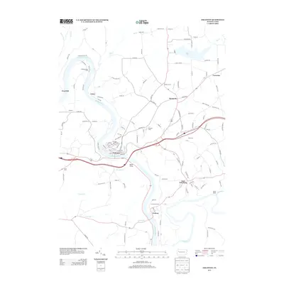
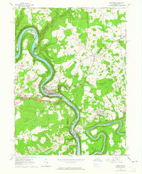
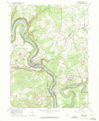
Editions of this 1963 Emlenton Map
4 editions found
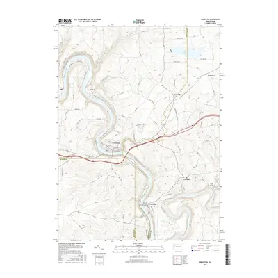
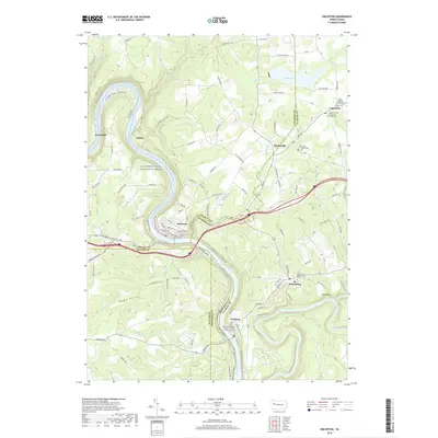
Historical Maps of Rockland Township Through Time
6 maps found