
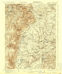
1911 Map of Emmitsburg
USGS Topo · Published 1911About this map
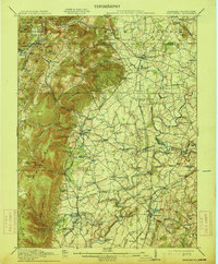
Emmitsburg and the surrounding borderlands of Frederick and Adams Co appear here at a time when the region's agricultural and institutional heritage was firmly established. The landscape is dominated by the steep rise of South Mountain and Catoctin mountain ranges, where local health and educational landmarks like the State Sanatorium and Mount St Marys are situated. The lower elevations are a network of milling and farming centers, with the Monocacy River and Double Pipe Creek providing the power for sites such as Nailors Mill and Martins Mill.
Find a feature on this map
126 named features on this map. Tap any name to fly to it.
Don’t see what you’re looking for? This feature index may not catch every label — zoom into the map to look around manually.
Map Details
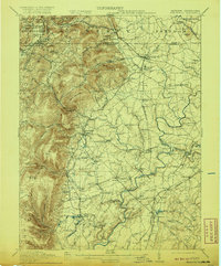
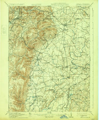
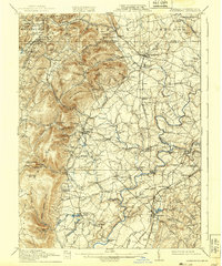
Editions of this 1911 Emmitsburg Map
6 editions found
Other maps of this area

1884 · Harpers Ferry
USGS Topo · 1:125,000

1891 · Harpers Ferry
USGS Topo · 1:125,000

1893 · Frederick
USGS Topo · 1:125,000

1893 · Harpers Ferry
USGS Topo · 1:125,000

1894 · Frederick
USGS Topo · 1:125,000

1902 · Chambersburg
USGS Topo · 1:62,500

1908 · Middletown
USGS Topo · 1:48,000

1908 · Gettysburg
USGS Topo · 1:62,500

1908 · Ijamsville
USGS Topo · 1:62,500

1909 · Mount Airy
USGS Topo · 1:62,500