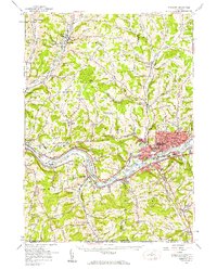
1956 Map of Endicott
USGS Topo · Published 1956About this map
The Susquehanna River carves through the southern tier of New York, anchoring a landscape defined by postwar growth and industrial transit. The urban corridor of Endicott and Endwell is densely mapped, featuring the sprawling Harpur College campus and the recreational grounds of the En-Joie Golf Course. These developing river towns are tied to the broader region by the Erie RR and Erie Lackawanna RR, which parallel the water and connect small hamlets like Campville and Apalachin.
Find a feature on this map
78 named features on this map. Tap any name to fly to it.
Don’t see what you’re looking for? This feature index may not catch every label — zoom into the map to look around manually.
Map Details
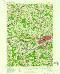
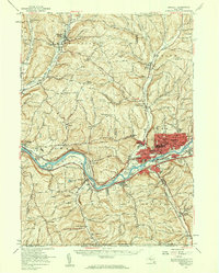
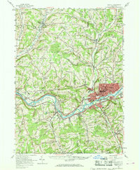
Editions of this 1956 Endicott Map
4 editions found
Other maps of this area

1900 · Dryden
USGS Topo · 1:62,500

1901 · Apalachin
USGS Topo · 1:62,500

1903 · Owego
USGS Topo · 1:62,500

1903 · Harford
USGS Topo · 1:62,500

1904 · Binghamton
USGS Topo · 1:62,500

1904 · Greene
USGS Topo · 1:62,500

1904 · Apalachin
USGS Topo · 1:62,500

1906 · Catatonk
USGS Topo · 1:125,000

1923 · Towanda
USGS Topo · 1:62,500

1926 · Towanda
USGS Topo · 1:62,500