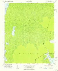
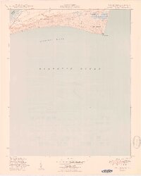
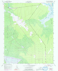
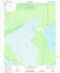
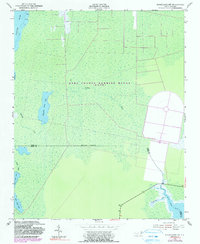
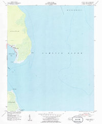
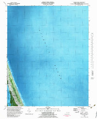
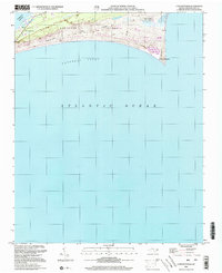
1953 Map of Engelhard NW
USGS Topo · Published 1955This historical map portrays the area of Engelhard NW in 1953, primarily covering Dare County as well as portions of Hyde County. Featuring a scale of 1:24000, this map provides a highly detailed snapshot of the terrain, roads, buildings, counties, and historical landmarks in the Engelhard NW region at the time. Published in 1955, it is one of 4 known editions of this map due to revisions or reprints.
Find a feature on this map
19 named features on this map. Tap any name to fly to it.
Don’t see what you’re looking for? This feature index may not catch every label — zoom into the map to look around manually.
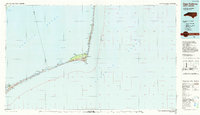
Map Details
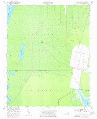
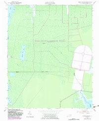
Editions of this 1953 Engelhard NW Map
4 editions found
Historical Maps of Dare County Through Time
17 maps found

1943 Roanoke Island
Dare County, NC
1948 Cape Hatteras
Dare County, NC
1950 Cape Hatteras
Dare County, NC
1951 Long Shoal Point
Dare County, NC
1953 Buffalo City
Dare County, NC
1953 East Lake
Dare County, NC
1953 East Lake SE
Dare County, NC
1953 Engelhard NE
Dare County, NC
1953 Engelhard NW
Dare County, NC

1953 Roanoke Island NE
Dare County, NC
1953 Stumpy Point
Dare County, NC
1982 Martin Point
Dare County, NC
1985 Cape Hatteras
Dare County, NC
2000 Engelhard NE
Dare County, NC
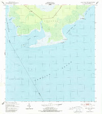
2000 Engelhard NW
Dare County, NC
2002 Cape Hatteras
Dare County, NC
2002 Stumpy Point
Dare County, NC